How to Navigate Complex Japanese Highway Junctions (JCT) Without Getting Lost
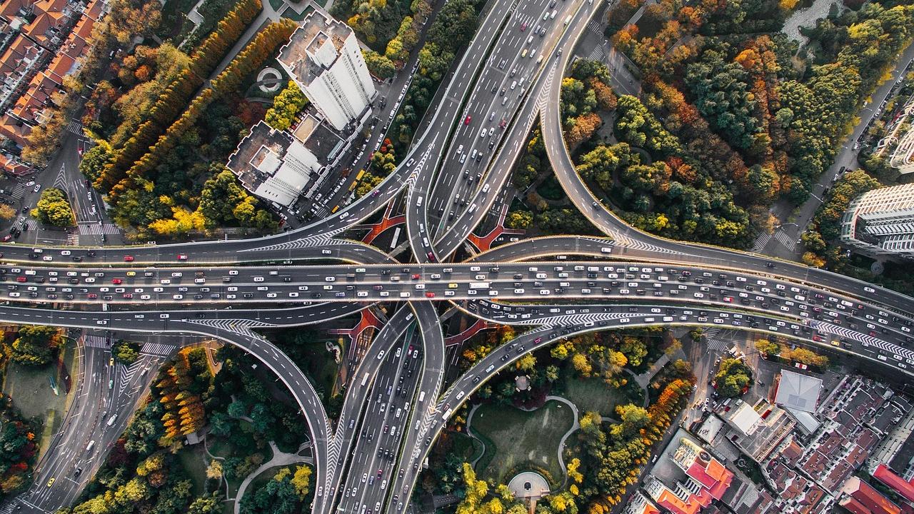
For many international visitors renting a car in Japan, driving on the left side of the road is the biggest initial hurdle. However, once you are on the open highway, a new, potentially more intimidating challenge presents itself: the Japanese Highway Junction (JCT). The expressway networks around major cities like Tokyo and Osaka are engineering marvels, featuring multi-layered, intertwining roads that connect various routes. These massive structures are essential for keeping traffic flowing, but they can be incredibly confusing for first-time drivers. Missing an exit or taking the wrong lane at a complex JCT can cost you significant time and toll money. This guide is designed to demystify Japanese highway junctions, teaching you how to read the signs, understand the lane markings, and confidently navigate even the most complicated interchanges without getting lost.
Understanding the Anatomy of a Japanese JCT
Before you approach a junction, it helps to understand how they are structured and what terminology is used in Japan. A Junction (JCT) is specifically an interchange that connects two or more expressways, unlike an Interchange (IC), which connects an expressway to a local public road.
The Scale and Complexity
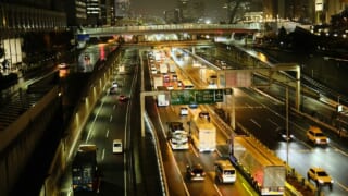
Japanese JCTs, particularly those on the Shuto Expressway in Tokyo or the Hanshin Expressway in Osaka, are often built in highly constrained urban environments. Because they cannot spread outwards, they build upwards, resulting in complex, multi-level structures where roads cross over and under each other in tight spirals.
These junctions often require drivers to make rapid decisions while traveling at highway speeds. You may need to merge left to go right, navigate tight, descending curves, or deal with traffic merging from both sides simultaneously. Understanding the flow of these structures is crucial. If you are planning to drive in the capital, you should also read our specific guide on Navigating Urban Expressways: How to Survive the Shuto Expressway in Tokyo.
The Importance of Advance Notice
Because the junctions are complex, the expressway operators provide ample warning before you reach them. The key to successful navigation is not reacting at the last second, but reading the signs well in advance and positioning your vehicle early.
You will typically start seeing signs for a major JCT at least 2 kilometers before the actual split, followed by more detailed signs at 1 kilometer, 500 meters, and directly over the diverging lanes. These signs are color-coded and highly standardized. Ignoring these early warnings and attempting to change lanes at the 500-meter mark is a recipe for stress and potential accidents, as traffic near the junction is often dense and fast-moving.
Decoding the Highway Signage
The Japanese expressway signage system is highly visual and designed to be understood even if you do not read Japanese. However, understanding the specific conventions used on the signs will give you a significant advantage.
Green Boards and Route Shields
All standard expressway signs in Japan are green with white text. This distinguishes them from local road signs, which are blue. When approaching a JCT, the overhead signs will display the names of the connecting expressways, the major cities they lead to, and the route numbers.
The route numbers are displayed inside distinctive shapes known as “shields.” National Expressways (like the Tomei or Tohoku Expressways) use a shield that looks like a rounded rectangle with a stylized highway icon. Urban expressways (like the Shuto) use a simple square or rectangular shield. Pay closer attention to the route number and the direction (e.g., “E1 Nagoya” or “C1 Outer Loop”) rather than trying to read the Kanji characters for the city names. If you need a comprehensive breakdown of all sign types, refer to Decoding Japanese Highway Signs: What the Colors, Lines, and Electronic Boards Mean.
The “Branching” Diagrams
The most helpful signs at a JCT are the large, overhead boards that feature a visual diagram of the branching roads. These diagrams show you exactly how the lanes split and which lane you need to be in for your destination.
Usually, the arrow pointing straight ahead indicates the continuation of your current route, while the arrow branching off (left or right) indicates the connecting expressway. Crucially, the sign will show you if the branch requires one lane or two. If the arrow points to the left lane, move to the left lane as soon as it is safe to do so. Do not wait until you see the physical split in the road. These diagrams are designed to remove ambiguity, so trust the visual representation of the lanes.
Mastering the Lane Markings
While the overhead signs tell you where you need to go, the markings painted directly on the road surface are your immediate guide to executing the maneuver safely. The Japanese use a very specific color-coding system on the asphalt to guide drivers through complex JCTs.
The Colored Guideline System
To help drivers navigate the most confusing junctions, highway operators paint solid colored lines directly onto the road surface. These lines act as visual tethers; if you follow the correct color, you will end up on the correct route.
For example, at a complex split, the overhead sign might indicate that the route to Tokyo is marked with a red line, and the route to Yokohama is marked with a blue line. You will see these thick red and blue lines painted on the asphalt, often starting a kilometer or more before the junction. All you have to do is position your car over the correct colored line and follow it through the twists and turns of the JCT. This system is incredibly effective, especially at night or in heavy rain when overhead signs might be harder to read.
Solid vs. Broken White Lines
Understanding the difference between solid and broken white lines is critical when approaching a junction. A broken (dashed) white line means that lane changes are permitted. You should use this area to get into the correct lane for your exit or continuation.
As you get closer to the physical split of the JCT, the broken white line will turn into a solid white line. In Japan, it is illegal (and highly dangerous) to cross a solid white line to change lanes. Once you are in a lane bounded by solid white lines, you are committed to that route. This is why reading the advance signs and moving into the correct lane early is so important. If you realize you are in the wrong lane and the line is solid, you must accept the mistake, take the wrong route, and find a safe place to turn around later. Never stop or reverse on the expressway.
Utilizing Technology for Navigation
While reading the physical signs and road markings is essential, you do not have to rely on your eyes alone. Modern technology is your best friend when navigating Japanese expressways.
GPS and Apple CarPlay
Almost all rental cars in Japan come equipped with an in-dash GPS navigation system. Many of these systems can be switched to English, though the translation quality can vary. A much more reliable method is to use your smartphone with Apple CarPlay or Android Auto, if the rental car supports it.
Google Maps and Apple Maps are both excellent for navigating Japanese highways. They provide clear, turn-by-turn instructions and, crucially, visual lane guidance. As you approach a JCT, the app will show you exactly which of the three or four lanes you need to be in. To ensure you can use these features seamlessly, make sure you know how to connect your phone before you leave the rental lot. We have a guide on this: Renting a Car with English Navigation: How to Ensure Your GPS is Tourist-Friendly.
Dealing with Missed Exits
Even with the best preparation and technology, mistakes happen. You might misread a sign, get stuck in the wrong lane due to heavy traffic, or simply take the wrong fork at a complex JCT. The most important thing is not to panic.
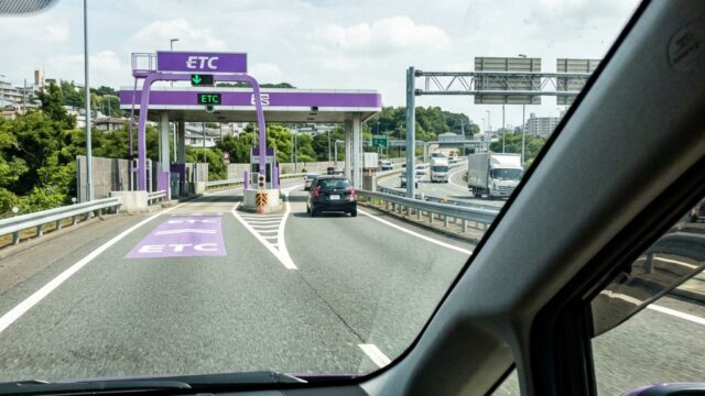
If you take the wrong route at a JCT, simply continue driving until you reach the next Interchange (IC). Exit the expressway, pay the toll (or let your ETC card register it), and then re-enter the expressway heading in the correct direction. In some very specific cases, there are “Special U-Turn” procedures you can use if you speak to the toll booth attendant, but this is complicated for non-Japanese speakers. The safest and least stressful option is to simply take the next exit and route back. For a more detailed explanation of what to do in this scenario, read What to Do if You Miss Your Highway Exit in Japan.
The Most Notorious JCTs in Japan
While most junctions are manageable with a bit of attention, there are a few that are notorious even among local Japanese drivers for their complexity. If your route takes you through these, extra vigilance is required.
Ohashi JCT (Tokyo)
Located on the Shuto Expressway in Tokyo, the Ohashi JCT connects the Central Circular Route (C2) with the Route 3 Shibuya Line. It is famous (or infamous) for its design: it is essentially a massive, oval-shaped corkscrew built entirely underground inside a concrete structure.
Drivers must navigate a steep, continuous spiral with a very tight radius to transition between the two expressways. The speed limit is strictly enforced at 40 km/h, and visibility is limited due to the curve and the enclosed space. The key here is to maintain a slow, steady speed, stay strictly within your lane, and rely on the colored lines painted on the road surface to guide you to your intended exit.
Awaza JCT (Osaka)
The Hanshin Expressway network in Osaka features several incredibly tight and complex junctions, but Awaza JCT is often cited as one of the most confusing. It connects the Route 16 Osaka Port Line with the Route 3 Kobe Line.
The difficulty at Awaza JCT stems from the fact that it is a sharp, nearly 90-degree curve suspended high above the city streets, with lanes merging and splitting in very quick succession. The signage comes at you fast, and hesitation can easily lead you down the wrong ramp. When approaching Awaza, slow down, trust your GPS lane guidance, and commit to your lane early.
- Read the 2km Sign: Start positioning your car when you see the first advance warning sign, not at the junction itself.
- Follow the Colors: Trust the colored lines painted on the asphalt; they are designed to guide you through the most confusing splits.
- Never Cross a Solid Line: If you realize you are in the wrong lane and the white line is solid, accept the mistake and take the next exit to turn around safely.
Conclusion
Navigating the complex Highway Junctions (JCT) of Japan’s expressway network can be daunting for international visitors, but it is a challenge that can easily be overcome with the right knowledge and preparation. The key to success lies in understanding the visual language of the highway—the green overhead boards, the route shields, and most importantly, the colored guidelines painted directly on the asphalt.
By paying attention to advance signage and positioning your vehicle in the correct lane well before the physical split, you remove the stress of last-minute merging. Utilizing modern technology, such as your smartphone’s GPS lane guidance, provides a crucial second layer of assurance. Remember that making a mistake at a JCT is not a disaster; if you find yourself on the wrong route, simply stay calm, do not make any illegal lane changes, and use the next Interchange to safely correct your course. With a bit of practice and reliance on the excellent signage system, you will be navigating Tokyo’s corkscrew junctions and Osaka’s elevated splits like a local, allowing you to focus on the enjoyment of your Japanese road trip.