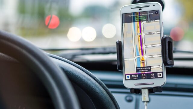
The Best Highway Driving Apps for Japan: Navitime, Google Maps, and Traffic Alerts
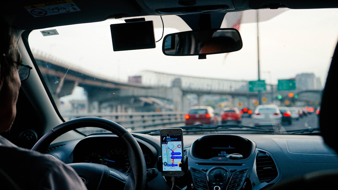
Renting a car in Japan and setting off to explore the countryside is an incredible experience, but the complexity of the expressway network can be daunting. With dynamic speed limits, massive multi-level junctions, and tolls that fluctuate based on time and distance, driving here requires more than just a good sense of direction. While your rental car will almost certainly come equipped with a built-in GPS system, relying solely on that static dashboard screen is a mistake.
To navigate like a seasoned local, avoid crushing traffic jams, and discover hidden gems along your route, you need to turn your smartphone into a dedicated co-pilot. By downloading and utilizing a specific suite of navigation and translation apps, you can drastically reduce your anxiety and make the driving experience incredibly smooth. This guide will review the absolute best mobile applications for driving in Japan, explaining when to use the universally popular Google Maps, why the domestic powerhouse Navitime is sometimes superior, and how to stay informed about real-time traffic alerts.
Google Maps: The Universal Co-Pilot
For almost every international tourist, Google Maps is the default navigation application. It is familiar, it is already installed on your phone, and the interface is fully translated into your native language. While it is not flawless for Japanese highway driving, it remains an absolutely indispensable tool for route planning and discovery.
The Power of Real-Time Traffic and Discovery
The greatest strength of Google Maps in Japan is its crowd-sourced, real-time traffic data. Before you even start your engine, you should plug your destination into Google Maps to check the overall health of your route. The app excels at identifying massive traffic jams (common during Golden Week or Obon holidays) and aggressively rerouting you to faster alternatives. If the main Tomei Expressway is highlighted in dark red, Google Maps might suggest a scenic detour through the mountains that a standard rental car GPS would ignore. If you are nervous about dealing with automated toll gates during these detours, check our guide on What is a “Smart IC”? How to Navigate ETC-Only Exits so you can confidently take the back roads.
Furthermore, Google Maps is unmatched for finding places to stop. If you are driving and suddenly crave ramen, or need to find a specific type of rest stop, Google Maps allows you to search along your route. More importantly, it automatically translates the reviews of local restaurants and Service Areas. A built-in car GPS cannot tell you if the food court at the next Service Area is highly rated by locals, but Google Maps can. You can discover incredible hidden gems simply by checking the map when you pull over for a break. For insights on what specific local foods to look for, read our Vegan & Vegetarian Food Guide or general guides on local highway delicacies.
The Weaknesses of Google Maps on Expressways
Despite its strengths, Google Maps has severe limitations when used as a primary turn-by-turn navigator on complex Japanese expressways. The most glaring issue is that it completely loses GPS signal when you enter Japan’s massive highway tunnels (such as the 10-kilometer Hida Tunnel or the subterranean Yamate Tunnel in Tokyo). When the signal drops, the app freezes, leaving you blind to upcoming exits or junctions that occur immediately after the tunnel ends.
Secondly, Google Maps struggles significantly with multi-level urban expressways. On the complex Shuto Expressway in Tokyo, where roads are stacked on top of each other, the app often cannot determine which vertical level you are on. It might instruct you to “turn left” onto a surface street when you are actually on an elevated bridge 50 feet in the air. This is why a hybrid approach is necessary; for a detailed breakdown of how to combine your phone with the car’s hardware, read Google Maps vs. Built-in Car Navigation: Which is Best?. Use Google Maps for traffic overview and finding restaurants, but rely on the car’s built-in GPS for physical lane guidance and tunnel tracking.
Navitime: The Japanese Standard
If you want an application that is specifically designed for the extreme complexities of Japanese infrastructure, you must download Navitime. Navitime is a domestic Japanese navigation company, and their smartphone app (which has a robust English version called “Japan Travel by Navitime”) is the gold standard for navigating the country.
Perfect Route Customization and Toll Calculation
Navitime’s routing algorithm is significantly more nuanced than Google Maps when it comes to Japanese expressways. It understands the intricate details of the toll system. When you search for a route, Navitime will provide multiple options explicitly broken down by criteria: the fastest route, the cheapest route (avoiding tolls entirely), and the most fuel-efficient route.
Crucially, Navitime provides highly accurate toll calculations before you drive. It factor in ETC discounts and different vehicle sizes. This is incredibly helpful for budgeting your trip, especially if you did not purchase a flat-rate expressway pass. Furthermore, Navitime’s visual interface is much better at rendering the complex, spaghetti-like junctions of Tokyo and Osaka. It will often show 3D illustrations of exactly which lane you need to be in, mirroring the excellent visuals of a built-in Car Navi but on your smartphone screen. If you are brave enough to tackle the capital city, pairing Navitime with our guide on Navigating Urban Expressways: How to Survive the Shuto Expressway will give you a massive advantage.
Japan Connected-Free Wi-Fi and Translation Tools
While navigation apps are your primary concern, your digital toolkit should also include apps to keep you connected and communicative. The “Japan Connected-Free Wi-Fi” app is incredibly useful. While driving, you obviously won’t be using Wi-Fi, but when you stop at a Service Area, this app automatically authenticates and connects you to the free public Wi-Fi networks available at almost all major NEXCO rest stops. This saves you from burning through your rental pocket Wi-Fi data when downloading large maps or translating menus at the food court.
Speaking of translation, do not rely solely on text-based Google Translate. Download the Google Translate app and ensure you have downloaded the Japanese language pack for offline use (crucial for when you are in the mountains with no cell service). Practice using the “Camera” function. When you are at a highway rest stop trying to decipher a complex ticket vending machine or read the ingredients on a box of local souvenirs, pointing your camera at the text for an instant augmented-reality translation is a lifesaver. It is the only reliable way to know exactly what you are ordering at a fast-paced food court.
Conclusion
To master the Japanese expressway network, you must curate your smartphone’s app drawer before you arrive at the rental counter. Relying on a single tool will leave you vulnerable to the unique quirks of the local infrastructure.
For a completely stress-free driving experience, ensure you have downloaded and tested this digital toolkit:
- Google Maps (for traffic & discovery): Best for checking real-time traffic jams before departing and translating reviews for restaurants at rest stops.
- Japan Travel by Navitime (for exact routing): The superior choice for calculating exact toll costs and navigating complex, multi-level urban junctions.
- Google Translate (Offline): Download the Japanese language pack; use the camera feature to instantly translate complex ticket vending machines at Service Areas.
- Japan Connected-Free Wi-Fi: Automatically logs you into the free internet networks available at major highway rest stops to save your cellular data.
- Don’t ignore the built-in GPS: Remember that smartphone apps lose signal in tunnels; always use the car’s built-in Car Navi as your primary physical guide.
By combining the real-time power of Google Maps, the domestic accuracy of Navitime, and the reliability of your car’s built-in GPS, you will navigate Japan’s stunning expressways perfectly, never missing a scenic exit or a delicious local meal.